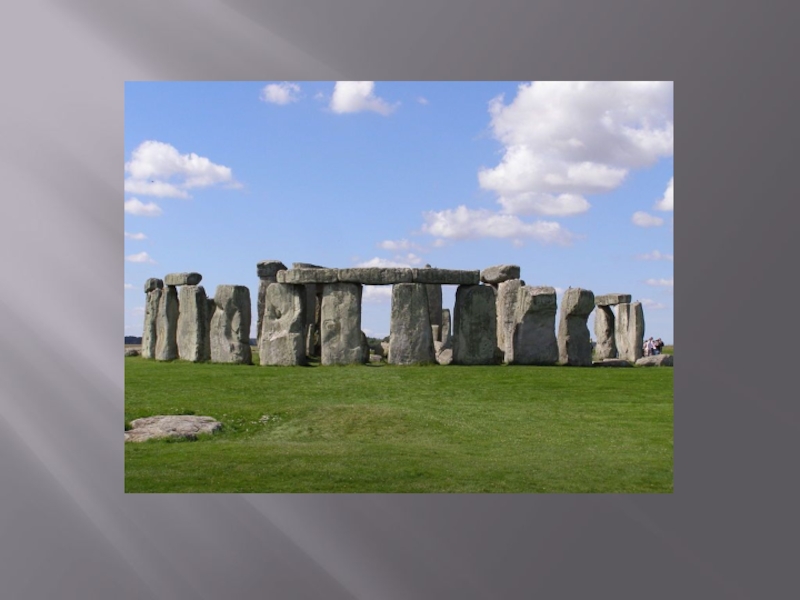
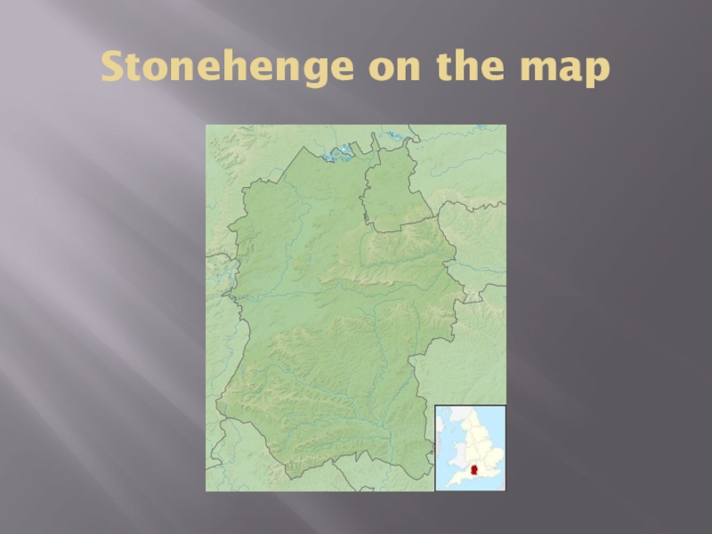
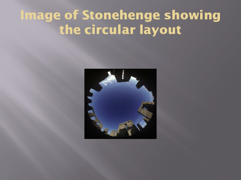
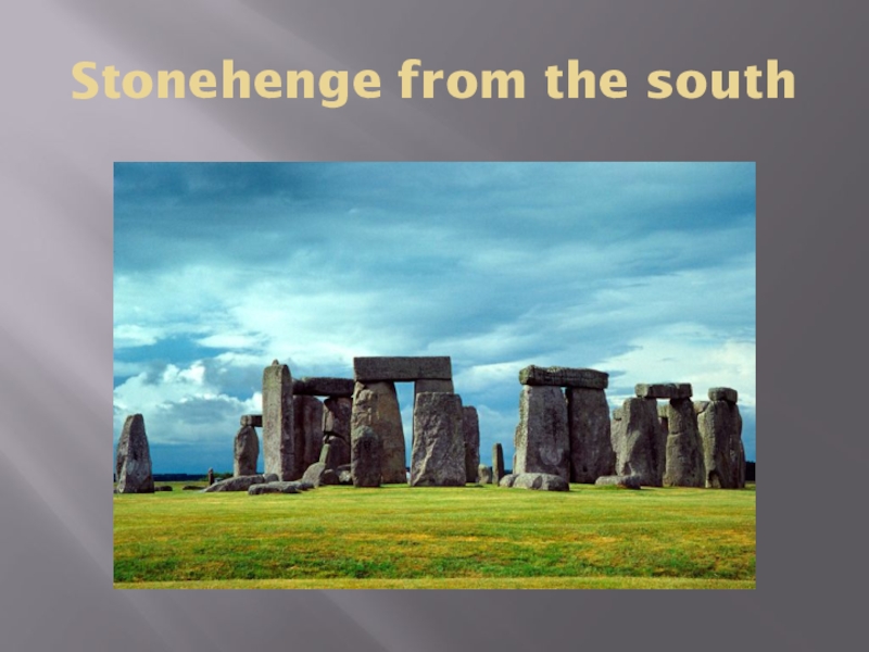
Wiltshire about 2.0 miles (3.2 km) west of Amesbury and 8 miles (13 km) north of Salisbury. One of the most famous sites in the world, Stonehenge is composed of a circular setting of large standing stones set within earthworks.
- Главная
- Разное
- Образование
- Спорт
- Естествознание
- Природоведение
- Религиоведение
- Французский язык
- Черчение
- Английский язык
- Астрономия
- Алгебра
- Биология
- География
- Геометрия
- Детские презентации
- Информатика
- История
- Литература
- Математика
- Музыка
- МХК
- Немецкий язык
- ОБЖ
- Обществознание
- Окружающий мир
- Педагогика
- Русский язык
- Технология
- Физика
- Философия
- Химия
- Шаблоны, фоны, картинки для презентаций
- Экология
- Экономика
Презентация, доклад на тему Stonehenge
Содержание
- 1. Stonehenge
- 2. Слайд 2
- 3. Stonehenge on the map
- 4. History Archeologists believe the stone monument wasconstructed
- 5. Theories More recently two major new theories
- 6. The latest theoryAnother theory, brought forth in
- 7. Summer sunrise over Stonehenge
- 8. The Heel Stone"Heel Stone," "Friar’s Heel" or
- 9. Heel Stone
- 10. Image of Stonehenge showing the circular layout
- 11. Computer rendering of the overall site
- 12. Stonehenge from the south
Stonehenge on the map
Слайд 4History
Archeologists believe the stone monument was
constructed anywhere from 3000 BC
to 2000 BC.
Archeological evidence found by the indicates
that Stonehenge could possibly serve as a burial
ground from its earliest beginnings.
Stonehenge was produced by a culture that left no
written records. Many aspects of Stonehenge remain
subject to debate. This multiplicity of theories, some
of them very colourful, are often called the "mystery
of Stonehenge". A number of myths surround the
stones.
Слайд 5Theories
More recently two major new theories have been proposed. Some scientists
have suggested that Stonehenge was a place of healing – the primeval equivalent of Lourdes.
On the other hand, Professor Mike Parker Pearson of Sheffield University has suggested that Stonehenge was part of a ritual landscape and was joined to Durrington Walls by their corresponding avenues and the River Avon. He suggests that the area around Durrington Walls Henge was a place of the living, whilst Stonehenge was a domain of the dead. A journey along the Avon to reach Stonehenge was part of a ritual passage from life to death.
On the other hand, Professor Mike Parker Pearson of Sheffield University has suggested that Stonehenge was part of a ritual landscape and was joined to Durrington Walls by their corresponding avenues and the River Avon. He suggests that the area around Durrington Walls Henge was a place of the living, whilst Stonehenge was a domain of the dead. A journey along the Avon to reach Stonehenge was part of a ritual passage from life to death.
Слайд 6The latest theory
Another theory, brought forth in 2012, suggests that the
monument was intended to unify the different peoples of the British island. This theory suggests that the massive amount of labour involved in the construction of Stonehenge necessitated the inter-regional cooperation.
Слайд 8The Heel Stone
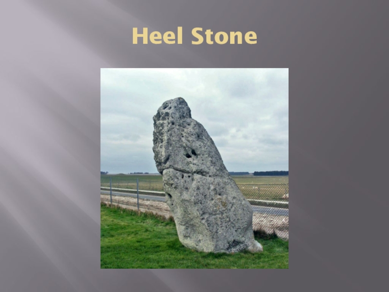
"Heel Stone," "Friar’s Heel" or "Sun-Stone“
The Heel Stone lies
just outside the main entrance to
the henge. It is a rough stone, 16 feet (4.9 m)
aboveground, leaning inwards towards the stone
circle. It has been known by many names in the past,
including "Friar's Heel" and "Sun-stone".
Today it is uniformly referred to as the Heel Stone or
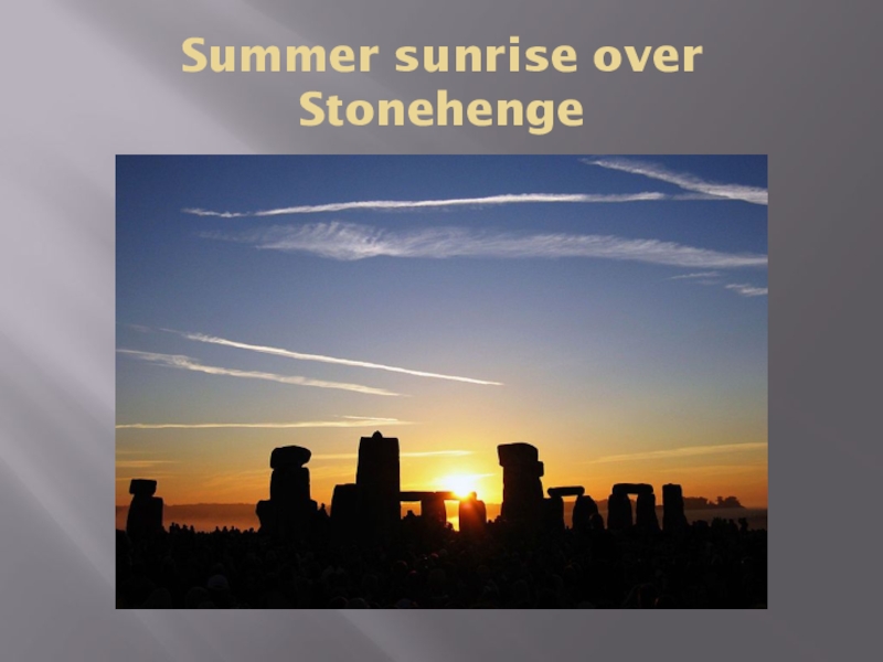
Heelstone. When one stands within Stonehenge,
facing north-east through the entrance towards the
heel stone, one sees the sun rise above the stone at
summer solstice.
