- Главная
- Разное
- Образование
- Спорт
- Естествознание
- Природоведение
- Религиоведение
- Французский язык
- Черчение
- Английский язык
- Астрономия
- Алгебра
- Биология
- География
- Геометрия
- Детские презентации
- Информатика
- История
- Литература
- Математика
- Музыка
- МХК
- Немецкий язык
- ОБЖ
- Обществознание
- Окружающий мир
- Педагогика
- Русский язык
- Технология
- Физика
- Философия
- Химия
- Шаблоны, фоны, картинки для презентаций
- Экология
- Экономика
Презентация, доклад по английскому языку на тему Природа Шарыповского района
Содержание
- 1. Презентация по английскому языку на тему Природа Шарыповского района
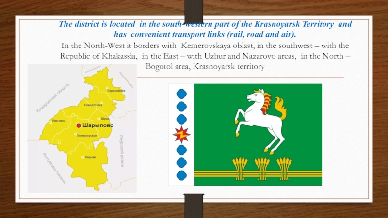
- 2. The district is located in the south-western
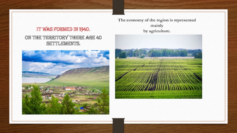
- 3. It was formed in 1940. On the
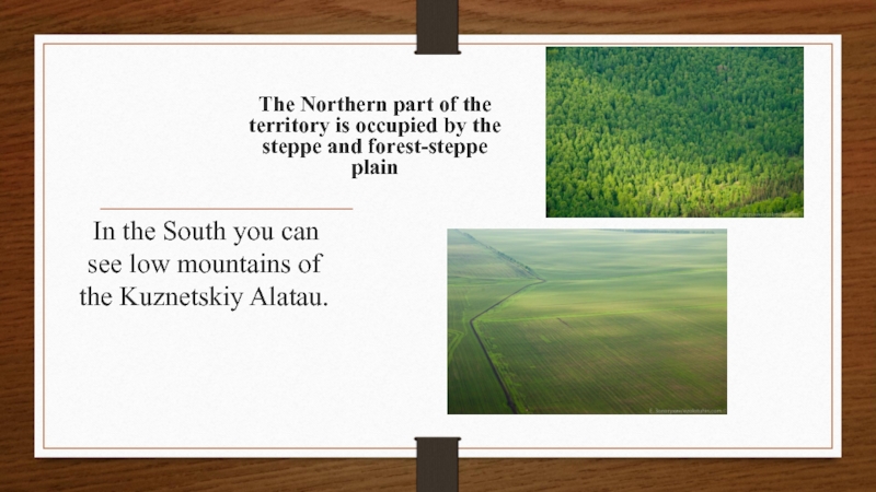
- 4. In the South you can see
- 5. Слайд 5
- 6. Слайд 6
- 7. There are 71 kinds of rare plants
- 8. Слайд 8
- 9. the only mountain of Krasnoyarsk region,
- 10. Nearby the village of Oraki on the
- 11. Sharypovsky District is called the land of
- 12. LAKE INGOL a unique state natural
- 13. LAKE LINYOVO is the most popular
- 14. LAKE MALOE In spite of the title
- 15. LAKE KRUGLOE located in the
- 16. Слайд 16
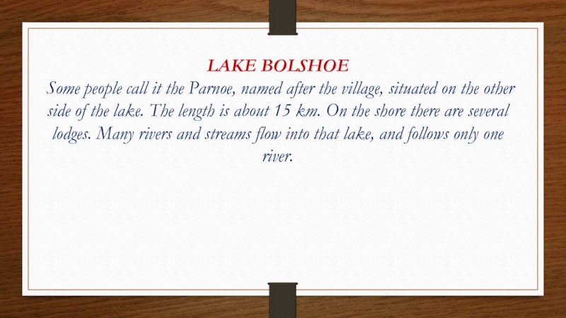
- 17. LAKE BOLSHOE Some people call it the
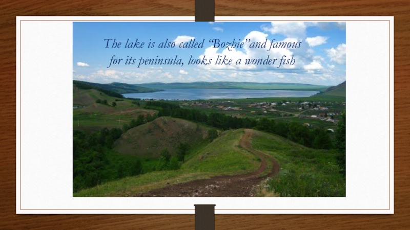
- 18. The lake is also called “Bozhie”and famous for its peninsula, looks like a wonder fish
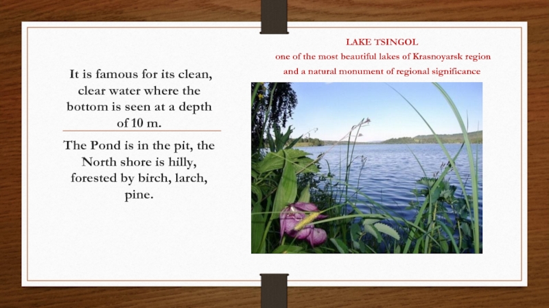
- 19. It is famous for its clean,
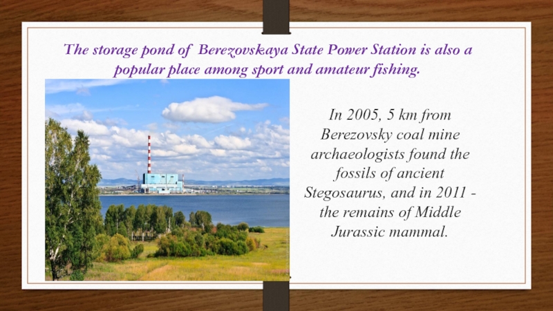
- 20. The storage pond of Berezovskaya State Power
- 21. Thank you for attention! We hope you’ll visit our wonderful district!
Слайд 2The district is located in the south-western part of the Krasnoyarsk
Слайд 3It was formed in 1940.
On the territory there are 40
The economy of the region is represented
mainly
by agriculture.
Слайд 4
In the South you can see low mountains of
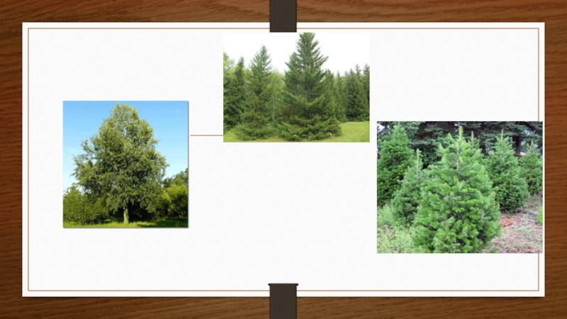
The Northern part of the territory is occupied by the steppe and forest-steppe plain
Слайд 7
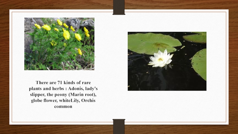
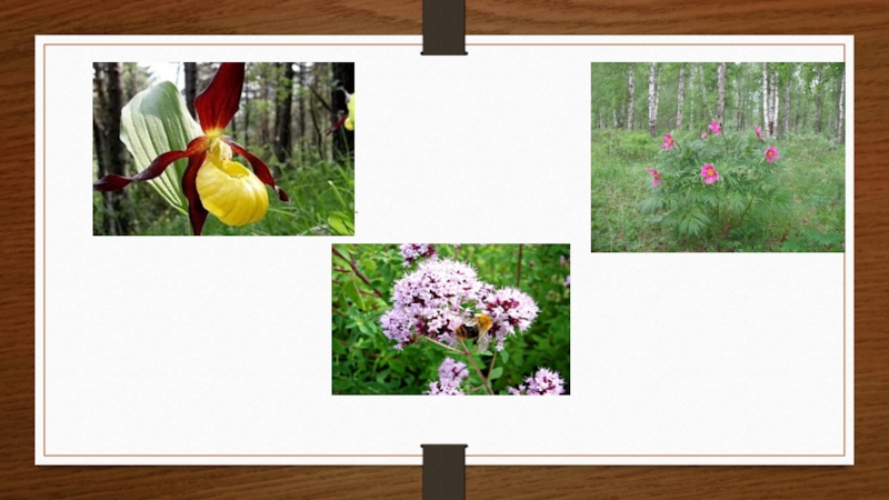
There are 71 kinds of rare plants and herbs : Adonis,
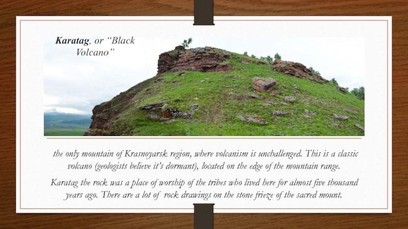
Слайд 9 the only mountain of Krasnoyarsk region, where volcanism is unchallenged.
Karatag the rock was a place of worship of the tribes who lived here for almost five thousand years ago. There are a lot of rock drawings on the stone frieze of the sacred mount.
Karatag, or “Black Volcano”
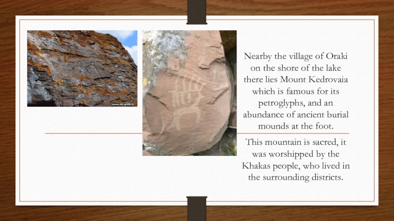
Слайд 10Nearby the village of Oraki on the shore of the lake
This mountain is sacred, it was worshipped by the Khakas people, who lived in the surrounding districts.
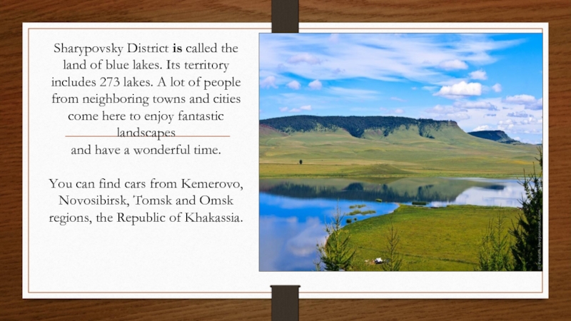
Слайд 11Sharypovsky District is called the land of blue lakes. Its territory
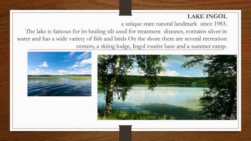
Слайд 12LAKE INGOL a unique state natural landmark since 1983. The lake is
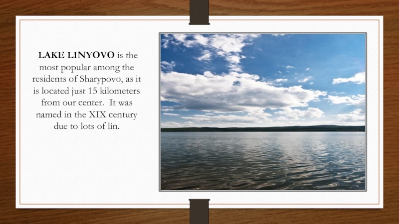
Слайд 13 LAKE LINYOVO is the most popular among the residents of
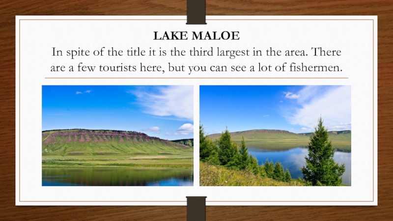
Слайд 14LAKE MALOE In spite of the title it is the third largest
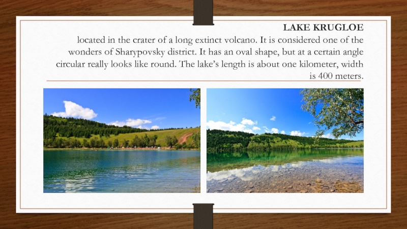
Слайд 15 LAKE KRUGLOE located in the crater of a long extinct
Слайд 17LAKE BOLSHOE
Some people call it the Parnoe, named after
Слайд 19 It is famous for its clean, clear water where the
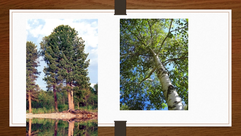
The Pond is in the pit, the North shore is hilly, forested by birch, larch, pine.
LAKE TSINGOL
one of the most beautiful lakes of Krasnoyarsk region
and a natural monument of regional significance
Слайд 20The storage pond of Berezovskaya State Power Station is also a
In 2005, 5 km from Berezovsky coal mine archaeologists found the fossils of ancient Stegosaurus, and in 2011 - the remains of Middle Jurassic mammal.
